Agtrix Farming – Crop Inventory and Data Recording
Our mapping tools allow industries to map and record crop location and attributes in order to better understand how much and where their crop is, and enable accurate production forecasting.
Our tools can be used to:
- Plan the harvest to optimise quality and resource use
- Plan production/ processing to fit capacity (when to start the season, season length, capacity requirements for processing)
- Plan infrastructure/ resource requirements (transport fleet, receival, staff, storage, distribution)
- Provide forecasts for market planning (tailor marketing to fit expected production or to take advantage of futures market)
- Identify impacts of natural disasters or environmental impacts on crop (eg. Expected losses due to storm or flood, losses due to smoke)
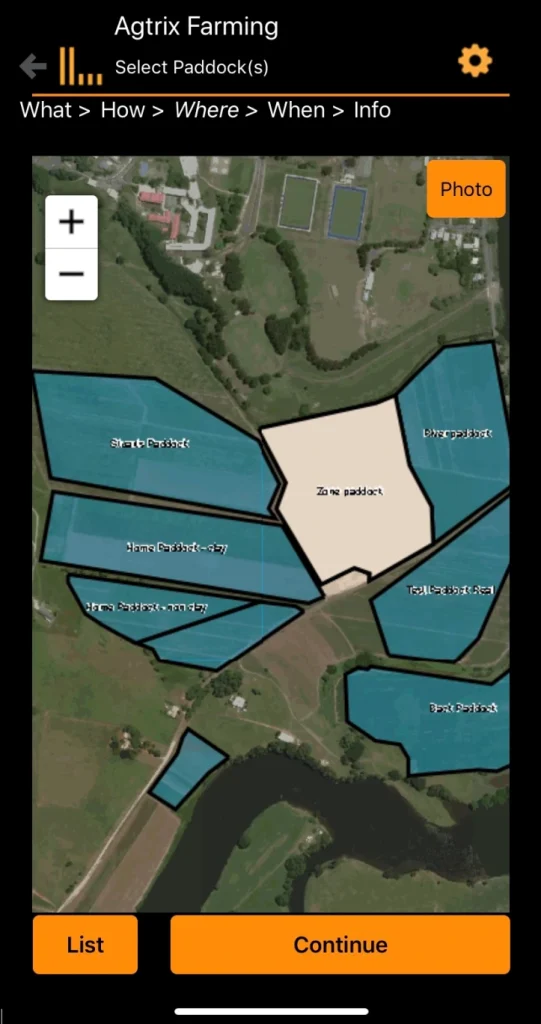
- Data recording: Spatial tools for the suppliers of agricultural produce and their advisors to record nutrient and chemical applications, pest/disease scouting, and other activities in their operations.
- Provides auditability of product supplied for market requirements such as certification
- Benchmark industry operations to assist extension and promotion of best practices
- Provide communication and collaboration between growers and advisors
- Integrate data from remote sensing, vehicle tracking, and data providers such as weather services and field sensors into the recording process to support better decision making


