SWAT MAPS
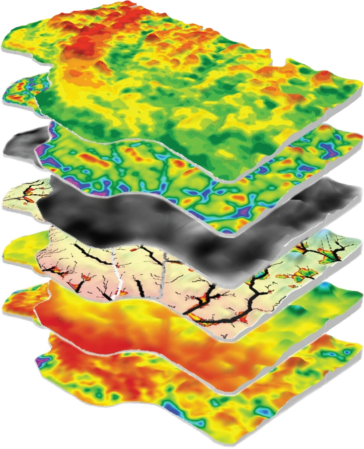
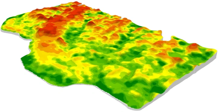
SWAT MAPS (soil, water, and topography maps) are a patented soil potential map that incorporates multiple layers of data to represent the stable soil and water attributes in each paddock. SWAT MAPS are primarily used to guide soil sampling and variable rate applications of fertiliser, seed, soil amendments, pre-em herbicides, and irrigation water. They are used across millions of acres in Canada, US, and Australia.


